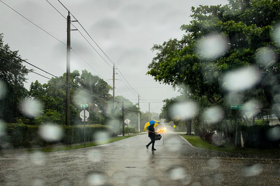
(NewsNation) — A tropical storm warning is in effect for the southwest coast of the Florida peninsula from East Cape Sable to Bonita Beach, where strong winds have snapped and uprooted trees, rendering some roads impassable from debris.
The National Oceanic and Atmospheric Administration (NOAA) also issued a tropical storm watch for the Florida Keys south of the Card Sound Bridge, including the Dry Tortugas, the southern coast of the Florida peninsula east of East Cape Sable to the Card Sound Bridge and for the west coast of the Florida peninsula north of Bonita Beach to Aripeka.
A tropical storm warning means that tropical storm conditions are expected within 36 hours, while a watch means conditions are possible within about 48 hours.
Heavy rainfall threatens flash and urban flooding across parts of Florida and the Southeast throughout the weekend and through Wednesday morning, according to the National Oceanic and Atmospheric Administration.
The updated advisories come after Florida Gov. Ron DeSantis declared a state of emergency Friday. The National Hurricane Center (NHC) indicated a heightened chance of development for Invest-97L, a system of disorganized storms over the Caribbean.
“Florida is monitoring Invest 97L in the Atlantic, which is expected to strengthen and potentially make landfall as early as this weekend,” DeSantis posted on X. “It will be slow-moving and bring lots of rain that could cause significant flooding. I encourage all residents to prepare for the storm and follow all guidance issued by @FLSERT (Florida Division of Emergency Management) and local emergency management officials.”
According to NOAA, the storm is expected to move over Cuba Friday and cross the Straits of Florida Saturday before moving near or over Florida’s west coast Saturday night through Sunday night.
It’s projected to bring winds as strong as 30 mph. Meteorologists say the storm may develop into a tropical depression Saturday as it moves across the Straits of Florida and could intensify into a tropical storm by Saturday night.
Rising waters moving inland from the shoreline may flood normally dry areas near the coast, with the potential for water to reach 1 to 3 feet in some areas.
Meanwhile, Potential Tropical Cyclone Four could produce 4 to 8 inches of rainfall or up to 1 foot near the Southeast coast over the weekend and through Wednesday morning, according to the NOAA.
Florida Attorney General Ashley Moody said her office activated its price gouging hotline for counties included in the emergency declaration.
Residents can call 866-966-7226 to report “extreme” price increases on essentials or visit MyFloridaLegal.com.
