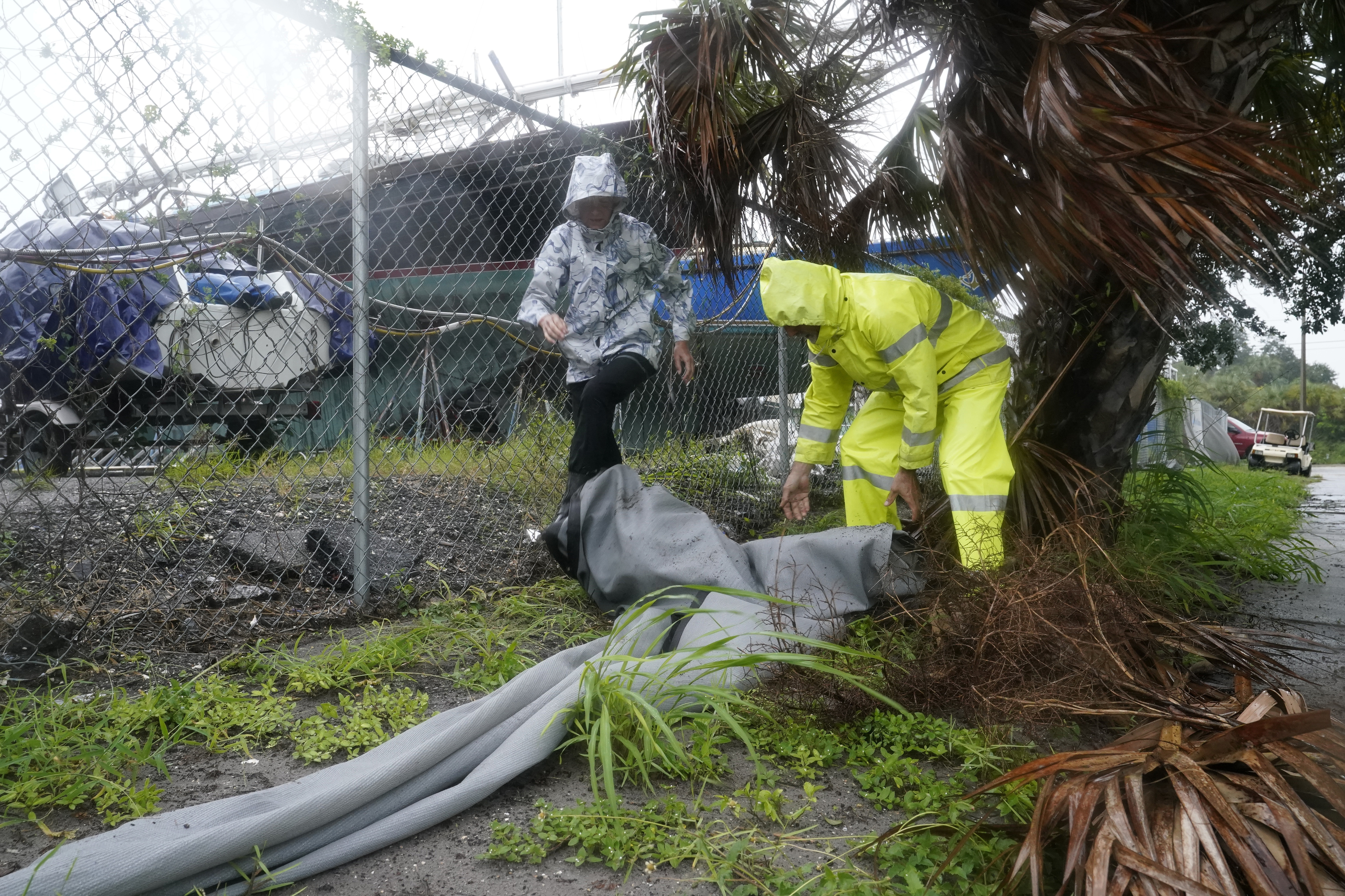
(NewsNation) — Hurricane Ian weakened to a tropical storm early Thursday morning, but not before causing major damage to Florida’s west coast. Ian made landfall around 3 p.m. on Wednesday as a Category 4 hurricane and continues to pummel through east Florida.
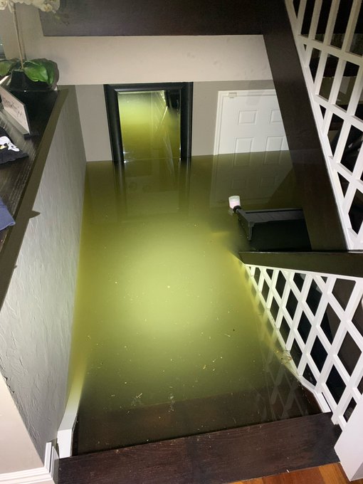
Ian caused widespread damage across the state, with the NHC reporting maximum sustained winds at 155 mph. Floods, storm surges and power outages have devastated Florida.
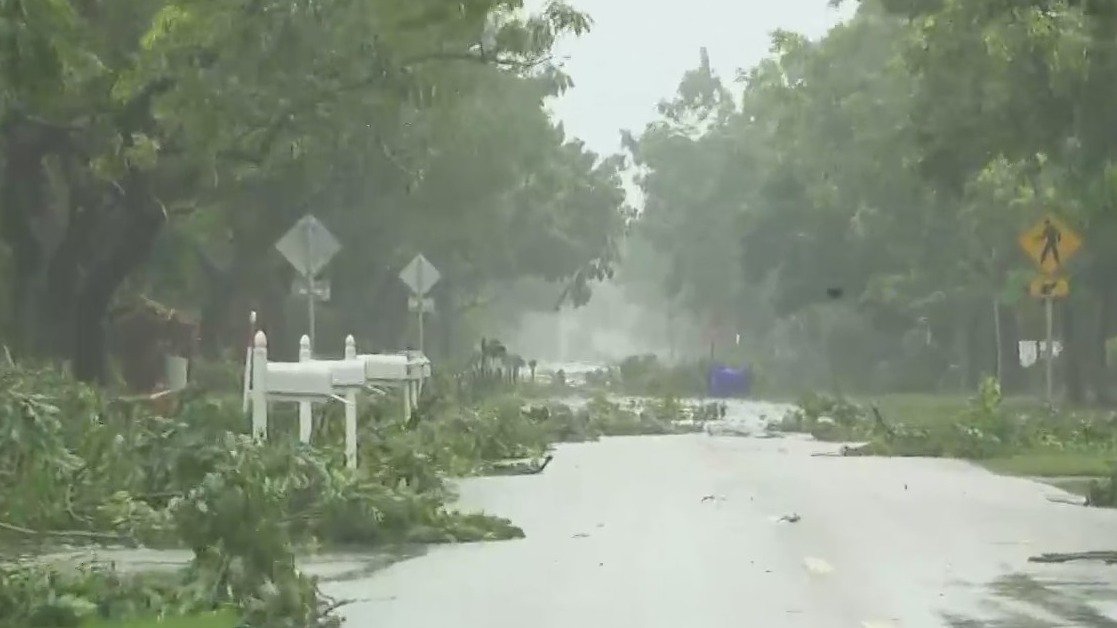
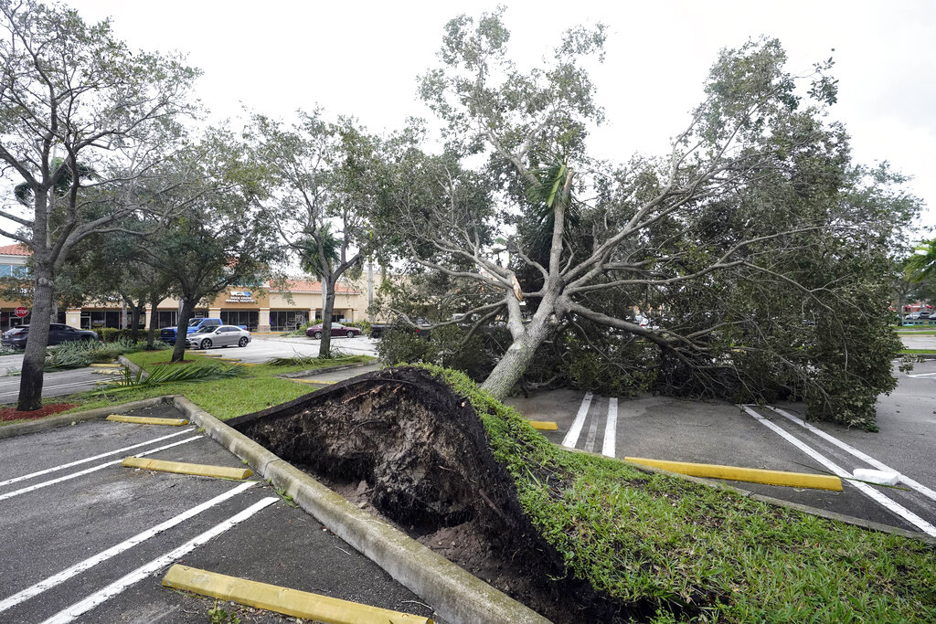
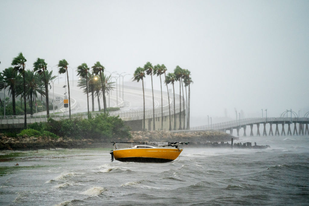
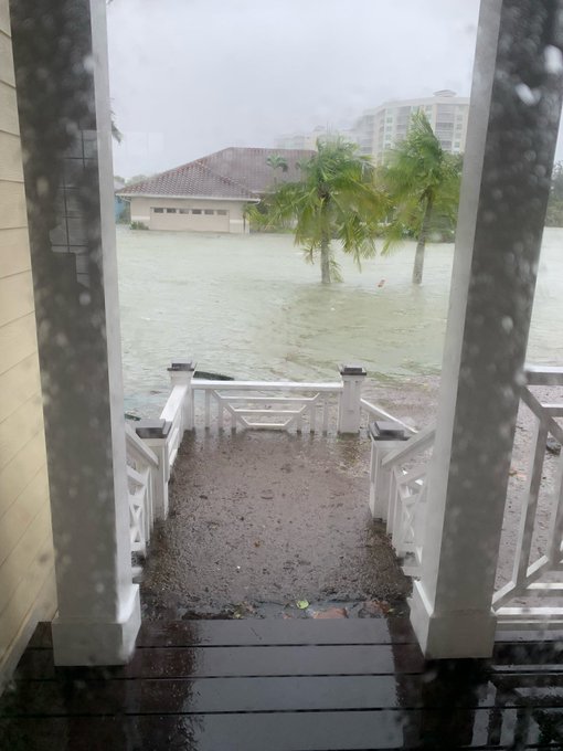
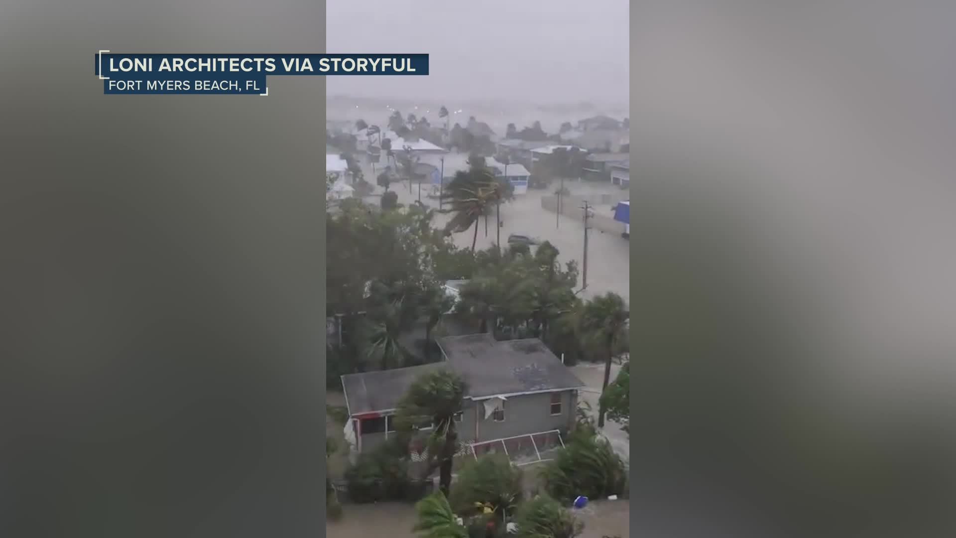
Water reached up to the roofs of houses, trees were uprooted and lots of random items were found randomly scattered through the streets, including a giant boat and even a piano.
More than 2.6 million Florida households are without power, according to PowerOutages.us. Power lines were knocked down everywhere and transformers blew up from Naples to Riverview.
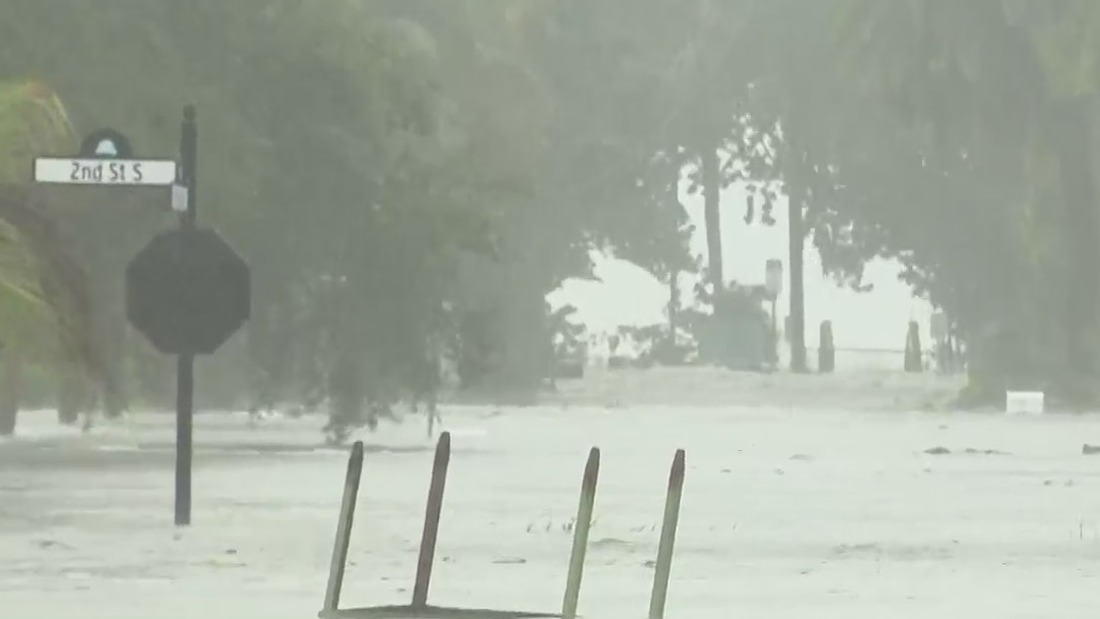
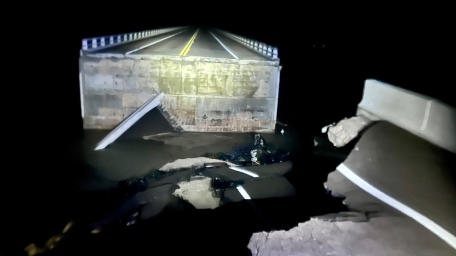
Off the coast on Sanibel Island near Fort Myers, swirling waters covered residential streets and rose halfway up mailbox posts by mid-morning. The hurricane even took out a major chunk of the Sanibel Causeway, which is the only bridge that connects the islands to Florida’s mainland.
There was no power or running water in Fort Myers, and cell service has been spotty, NewsNation’s senior correspondent Brian Entin reported.
Seawater rushed out of Tampa Bay, leaving parts of the bay’s muddy bottom exposed, and waves crashed over the end of a wooden pier in Naples.
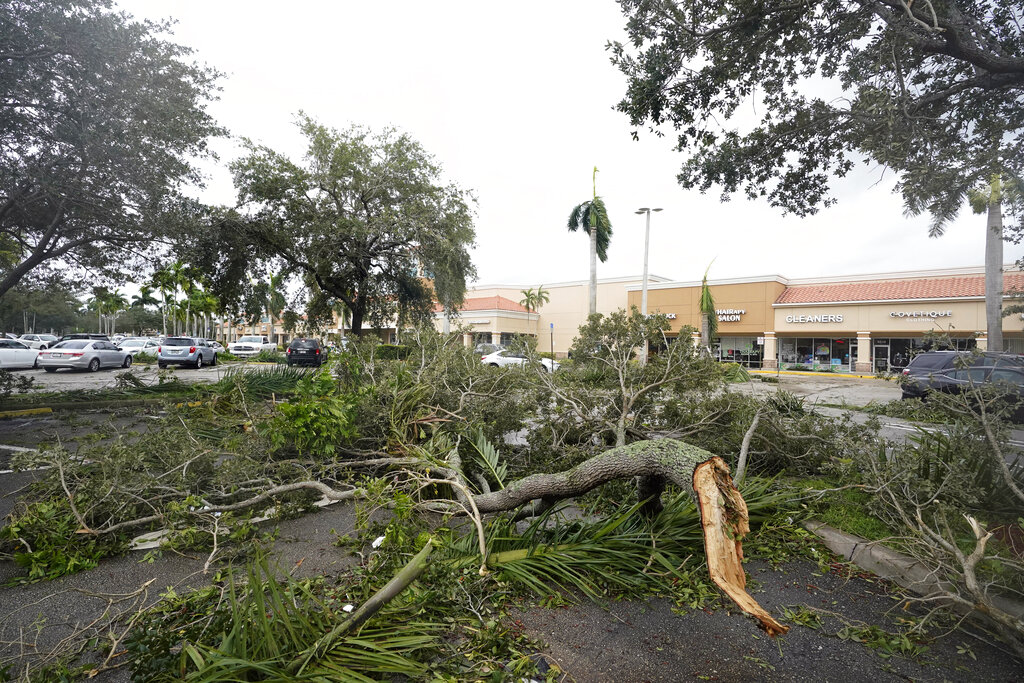
An aluminum roof was found mangled, wrapped around a post in Sarasota with no indication of where it came from, and a restaurant sign next to it was folded in half by Ian’s winds. The Sarasota Bradenton International Airport was also damaged in the storm.
Florida residents rushed ahead of the impact to board up their homes, stash their precious belongings on upper floors and join long lines of cars leaving the shore.
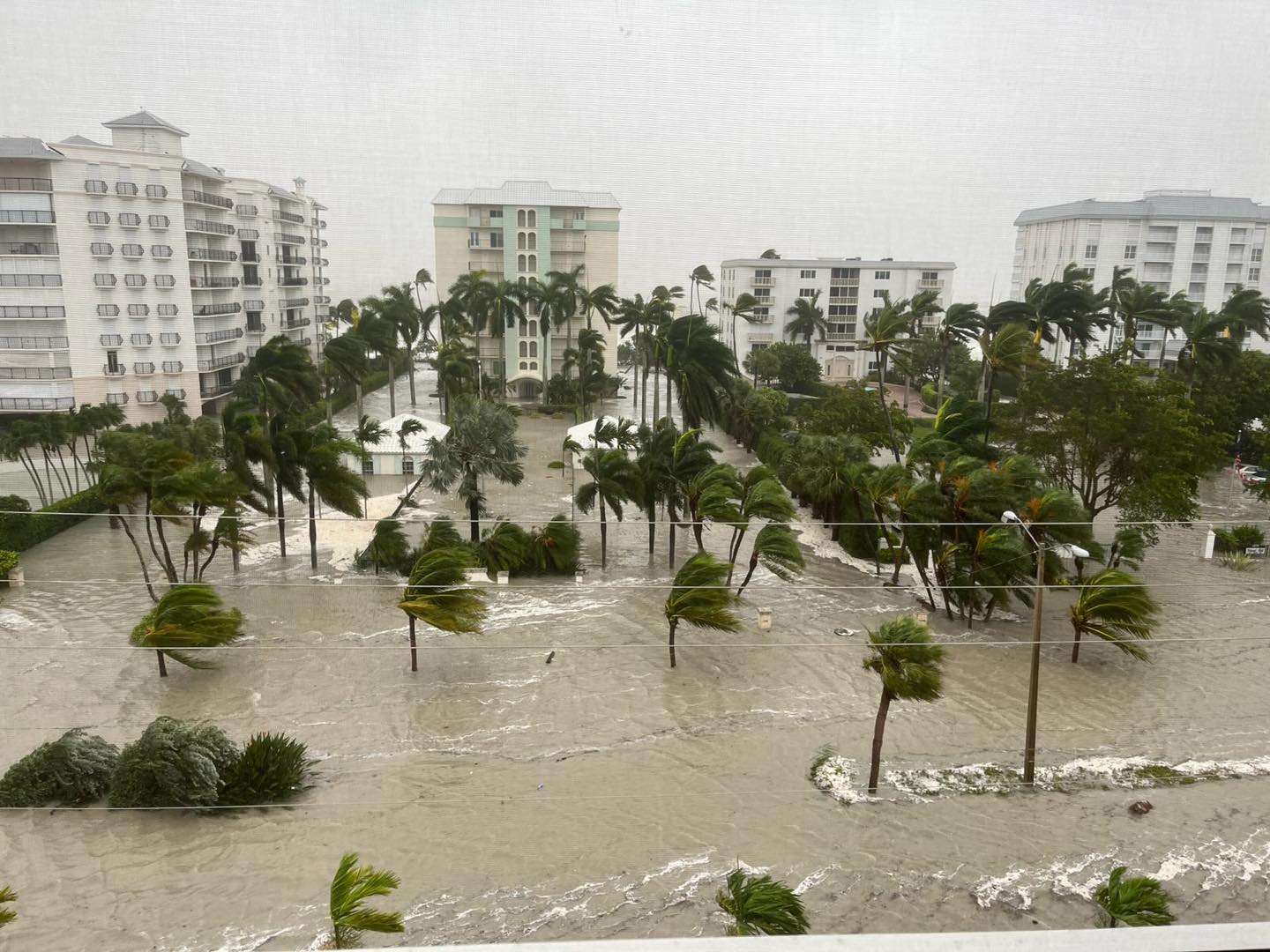
And those unable to escape have been instructed to find high ground, as part of Fort Myers Beach and other regions of Southwest Florida are experiencing upwards of 18 feet of floodwater — above high tide.
The Tampa Police Department urged residents to stay indoors, tweeting a video showing a traffic light crashing down in front of a car.
Entin was reporting in Fort Myers when he assisted in the rescue of a dog and a cat from a sailboat.
Around 8 p.m. Eastern time, Entin noticed that water was slowly receding downtown. But in other areas of the city, water was still making roads impassable around 9:30 p.m.
Trees were all over the road, Entin reported, and roofs and siding had been ripped off buildings. Some residents seemed to be in “comatose-like” states after their homes were flooded and cars submerged, Entin noted.
While the situation at Fort Myers is the worst-case scenario thus far, these types of storm surges with high waters have also been seen in places such as Naples, showing how strong the storm had become.
“It’s really tough right now for the city of Naples,” Councilman Terry Hutchison told NewsNation on Wednesday. “Thank God we’ve got a great staff through our city that’s really helping us out.”
The Naples councilman, who also operates several 7-Eleven stores in town, said after driving around, not only is the storm surge bad, but that some citizens are stranded.
“I’m seeing some of our citizens stranded because this water is coming into us from different sides — millions of gallons of water flooding down our streets,” Hutchison said. “Coupled with this high wind we’re going to have, already, a lot of significant damage throughout our city.”
Although Ian made landfall as a Category 4 hurricane, Hutchison’s on-the-ground surveillance already backs up experts’ forecast that it could be Florida’s worst tropical storm since 1992’s Andrew.
“When Irma came, we slept in the stores because we were the last to close and the first to open. Irma isn’t even close to what I’m seeing right here — this is scary,” the councilman said.
For context, 2017’s Irma was a Category 5 hurricane, while Ian made landfall as a Category 4.
After the worst of the storm had left Naples, NewsNation correspondent Xavier Walton said people began trickling outside to get food and other supplies at gas stations.
Another man named Jackson Boone left his home near the Gulf Coast and hunkered down at his law office in Venice with employees and their pets. Boone at one point opened a door to howling wind and rain flying sideways.
“We’re seeing tree damage, horizontal rain, very high wind,” Boone said by phone. “We have a 50-plus-year-old oak tree that has toppled over.”
And in Naples, the first floor of a fire station was inundated with about 3 feet of water and firefighters worked to salvage gear from a firetruck stuck outside the garage in even deeper water, a video posted by the Naples Fire Department showed.
Naples is in Collier County, where the sheriff’s department reported on Facebook that it was getting “a significant number of calls of people trapped by water in their homes” and that it would prioritize reaching people “reporting life-threatening medical emergencies in deep water.”
A video posted by Lance Charen shows floodwater inundating roadways and houses in Bonita Springs. Charen said that his was “the only house in the neighborhood not flooded out yet.”
Flash floods were possible all across Florida. Hazards include the polluted leftovers of Florida’s phosphate fertilizer mining industry, and more than 1 billion tons of slightly radioactive waste contained in enormous ponds that could overflow in heavy rains.
The AP contributed to this report.

