NOAA: Atlantic hurricane season could see 4-9 hurricanes
- This season could see between one and four Category 3 or above hurricanes
- Up to four of those hurricanes could bring wind speeds up to 103 mph
- FEMA expects a shortfall in its disaster relief fund come August

This Saturday, Oct. 8, 2022 satellite image made available by the U.S. National Oceanic and Atmospheric Administration shows Tropical Storm Julia, bottom right, at 4 p.m. EDT. Julia is gaining strength heading westward in the southern Caribbean, and authorities are preparing for a possible hurricane on Colombian islands and in Nicaragua. (NOAA via AP)
(NewsNation) — The National Oceanic and Atmospheric Administration predicts between one and four Category 3 or above hurricanes this season, which spans June 1 to Nov. 20.
Those estimates are based, in part, on emerging El Niño and unusually warm sea surface temperatures across the Atlantic and Caribbean Sea.
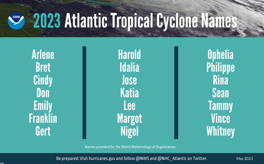
The NOAA presented its forecast Thursday, announcing the possibility for 12 to 17 named storms, five to nine of which could develop into hurricanes.

As many of four of those predicted hurricanes could bring wind speeds up to 103 mph, according to NOAA.
“Learn today what your individual risk is and the actions you’re going to take and plan accordingly,” FEMA Administrator Deanne Criswell said. “These storms are going to continue to develop faster. They are going to be stronger. They will last longer.”
This season’s forecast is unique in that it shows warmer than usual Atlantic sea surface temperatures during an El Niño year. For that reason, there’s some uncertainty surrounding the severity of potential storms.
The current outlook projects a 40% chance for near-normal storms and 30% chance for storms that are below or above normal, according to the NOAA.
Key ingredients for a hurricane include warm water, damp air and colliding winds. Since at least 1968, the ocean’s heat has steadily increased.

Warmer ocean waters account for 90% of the Earth’s warming, according to NASA, and the water’s internal temperature increases the likeliness of storms becoming more intense.
At the same time, FEMA expects a shortfall in its disaster relief fund come August, potentially impacting recovery efforts moving forward.
“I can tell you that we will always have enough money to be able to respond and make sure that we can support any life-saving efforts that need to happen,” Criswell said. “If we do end up with a shortfall, we would see some impacts to the ability to continue ongoing recovery operations.”
FEMA is working with the Biden administration on a request for additional funds, Criswell said.


