ST. PETERSBURG, Fla. (AP) — It’s been more than a century since a major storm like Hurricane Ian has struck the Tampa Bay area, which blossomed from a few hundred thousand people in 1921 to more than 3 million today.
Many of these people live in low-lying neighborhoods that are highly susceptible to storm surge and flooding they have rarely before experienced, which some experts say could be worsened by the effects of climate change.
The storm is forcing people to evacuate, but also reducing some of their options. The Tampa Airport announced it would cease operations at 5 a.m. Tuesday to prepare the facility for the brutal storm. A statement from the airport did not include a potential reopening time — only a promise that damage assessments would begin as soon as it was safe.
The threat has also forced the Tampa Bay Buccaneers to pack up and head toward Miami to practice with the Dolphins. The team’s marquee Oct. 2 game at home against the Kansas City Chiefs is still on as of Monday night.
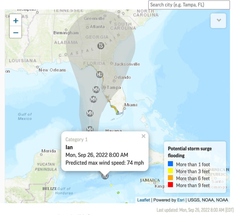
The problem confronting the region is that storms approaching from the south, as Hurricane Ian is on track to do, bulldoze huge volumes of water up into shallow Tampa Bay and are likely to inundate homes and businesses. The adjacent Gulf of Mexico is also shallow.
“Strong persistent winds will push a lot of water into the bay and there’s nowhere for it to go, so it just builds up,” said Brian McNoldy, a senior research associate at the University of Miami’s Rosenstiel School of Marine, Atmospheric and Earth Science. “Tampa Bay is very surge-prone because of its orientation.”
The National Hurricane Center is predicting storm surge in Tampa Bay and surrounding waters of between 5 and 10 feet above normal tide conditions and rainfall of between 10 and 15 inches because of Hurricane Ian.
“That’s a lot of rain. That’s not going to drain out quickly,” said Cathie Perkins, emergency management director in Pinellas County, where St. Petersburg and Clearwater are located. “This is no joke. This is life-threatening storm surge.”
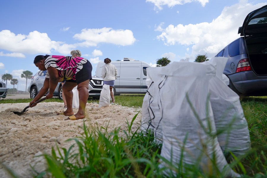
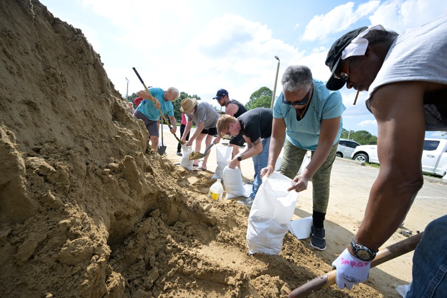
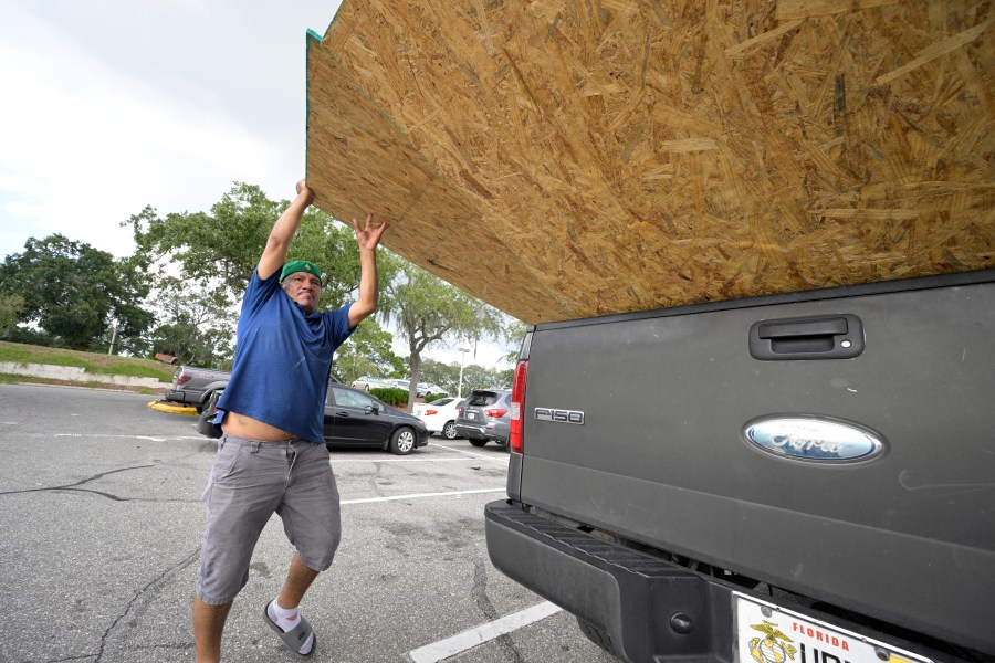
Officials in the area began issuing evacuation orders Monday for a wide swath of Tampa, with the St. Petersburg area soon to follow. The evacuations could affect 300,000 people or more in Hillsborough County alone.
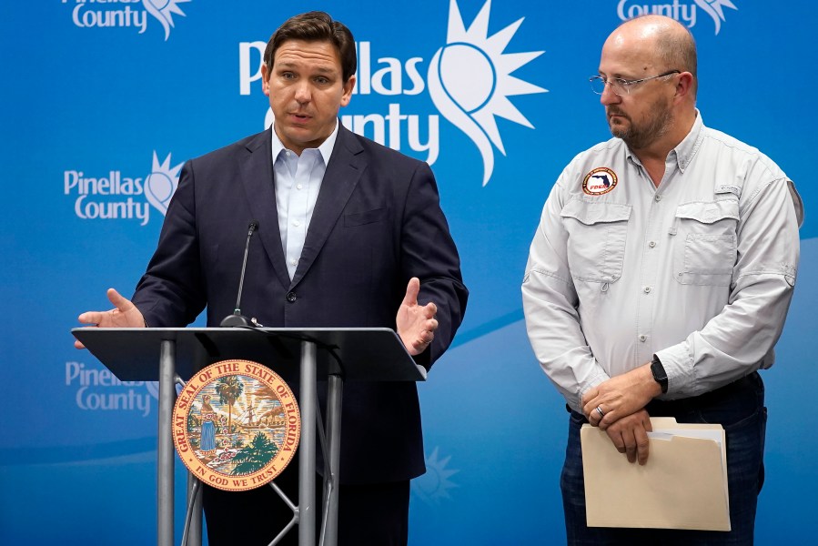
Gov. Ron DeSantis took note of the region’s vulnerability in a Monday afternoon news conference in Largo, Florida.
“Clearly, when you look at the Tampa Bay area, one of the reasons why we fear storms is because of the sensitivity of this area and the fragility of this area,” DeSantis said.
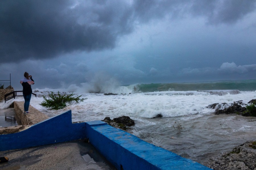
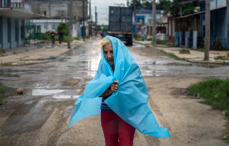
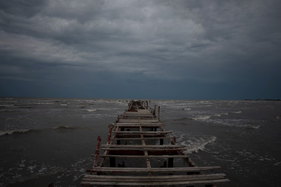
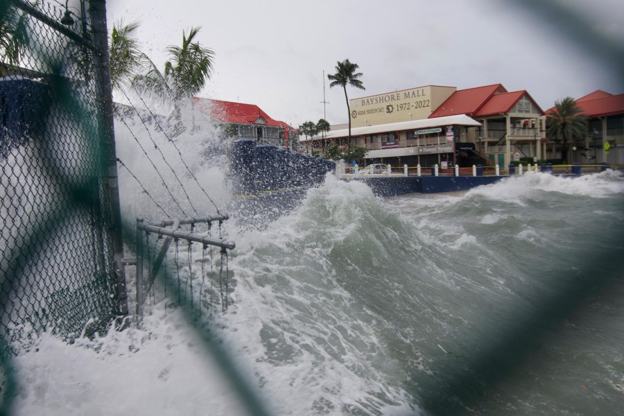
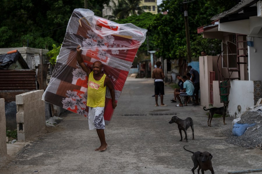
Early Tuesday morning, the strengthening Hurricane Ian’s rain and winds were lashing Cuba’s western tip, where authorities have evacuated 50,000 people.
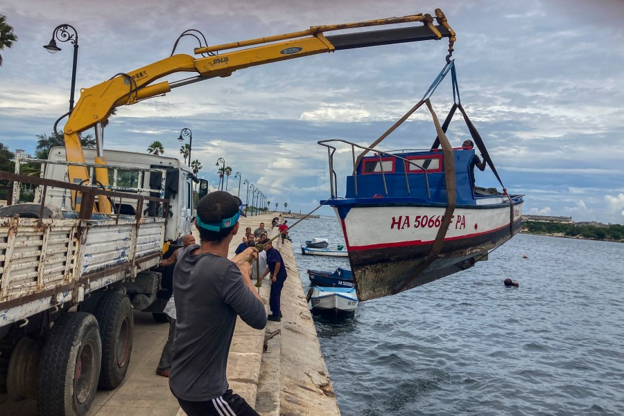
Officials in Cuba’s Pinar del Rio province set up 55 shelters, rushed in emergency personnel and took steps to protect crops in the nation’s main tobacco-growing region ahead of Ian’s expected landfall early Tuesday as a major hurricane. The U.S. National Hurricane Center said the island’s west coast could see as much as 14 feet (4.3 meters) of storm surge.
“Cuba is expecting extreme hurricane-force winds, also life-threatening storm surge and heavy rainfall,” hurricane center senior specialist Daniel Brown told The Associated Press.
The last time Tampa Bay was hit by such a major storm was Oct. 25, 1921. The hurricane had no official name but is known locally as the Tarpon Springs storm, for the seaside town famed for its sponge-diving docks and Greek heritage where it came ashore.
The storm surge from that hurricane, estimated at Category 3 with winds of up to 129 mph, was pegged at 11 feet. At least eight people died and damage was estimated at $5 million at the time.
Now, the tourist-friendly region known for its sugar-sand beaches has grown by leaps and bounds, with homes and businesses along the water the ideal locations — most of the time. Hurricane Ian could threaten all of that development.
Just as an example, the city of Tampa had about 51,000 residents in 1920. Today, that number is almost 395,000. Many of the other cities in the region have experienced similar explosive growth.
A report from the Boston-based catastrophe modeling firm Karen Clark and Co. concluded in 2015 that Tampa Bay is the most vulnerable place in the U.S. to storm surge flooding from a hurricane and stands to lose $175 billion in damage. A World Bank study a few years before that placed Tampa as the seventh-most vulnerable city to major storms on the entire globe.
Yet for years, storms seemed to bypass the region somewhat inexplicably. Phil Klotzbach, research scientist in the Department of Atmospheric Science at Colorado State University, noted that only one of five hurricanes at Category 3 strength or higher has struck Tampa Bay since 1851.
“In general, cyclones moving over the Gulf of Mexico had a tendency of passing well north of Tampa,” the National Oceanographic and Atmospheric Administration said in report on the 1921 storm.
Also lurking in the waves and wind are the impacts of climate change and the higher sea levels scientists say it is causing.
“Due to global warming, global climate models predict hurricanes will likely cause more intense rainfall and have an increased coastal flood risk due to higher storm surge caused by rising seas,” Angela Colbert, a scientist at NASA’s Jet Propulsion Laboratory, wrote in a June report.
McNoldy, the University of Miami researcher, noted that Hurricane Andrew’s storm surge today would be 7 inches higher than it was when that storm pounded South Florida 30 years ago.
“As sea level rises, the same storm surge will be able to flood more areas because the baseline upon which it’s happening is higher,” McNoldy said.
Amid all the science, a local legend has it that blessings from Native Americans who once called the region home have largely protected it from major storms for centuries. Part of that legend is the many mounds built by the Tocobagan tribe in what is now Pinellas County that some believe are meant as guardians against invaders, including hurricanes.
Rui Farias, executive director of the St. Petersburg Museum of History, told the Tampa Bay Times after Hurricane Irma’s near miss in 2017 that many people still believe it.
“It’s almost like when a myth becomes history,” Farias said. “As time goes on, it comes true.”
It appears Hurricane Ian will give that legend a test in the coming days.
NewsNation contributed to this report.

