What is a Polar Vortex?
Testing widget old system


CHICAGO (NewsNation Now) — You’ve likely heard of the infamous “Polar Vortex” before, but what exactly is it?
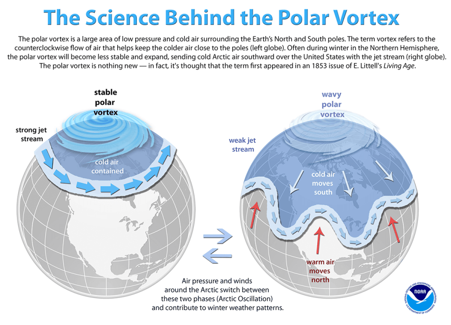
It’s not a sinister, hurricane-like blizzard causing everyone and everything to instantly freeze solid like you might see in the popular disaster movie “The Day After Tomorrow.” What it really is, is a wide expanse of slowly swirling Arctic air that hangs out up in, you guessed it, the Arctic. There is also another one that sits over the South Pole.

In the summer, the vortex is stronger but more stable, keeping the cold air contained. But during the wintertime, the polar vortex will expand and sometimes break into separate pieces sending some of the coldest air on the planet toward the lower latitudes.
This happens when the vortex and its jet stream around the edges become weaker and a bit wavier. This wavy jet stream pattern will often create many winter storm systems as well.
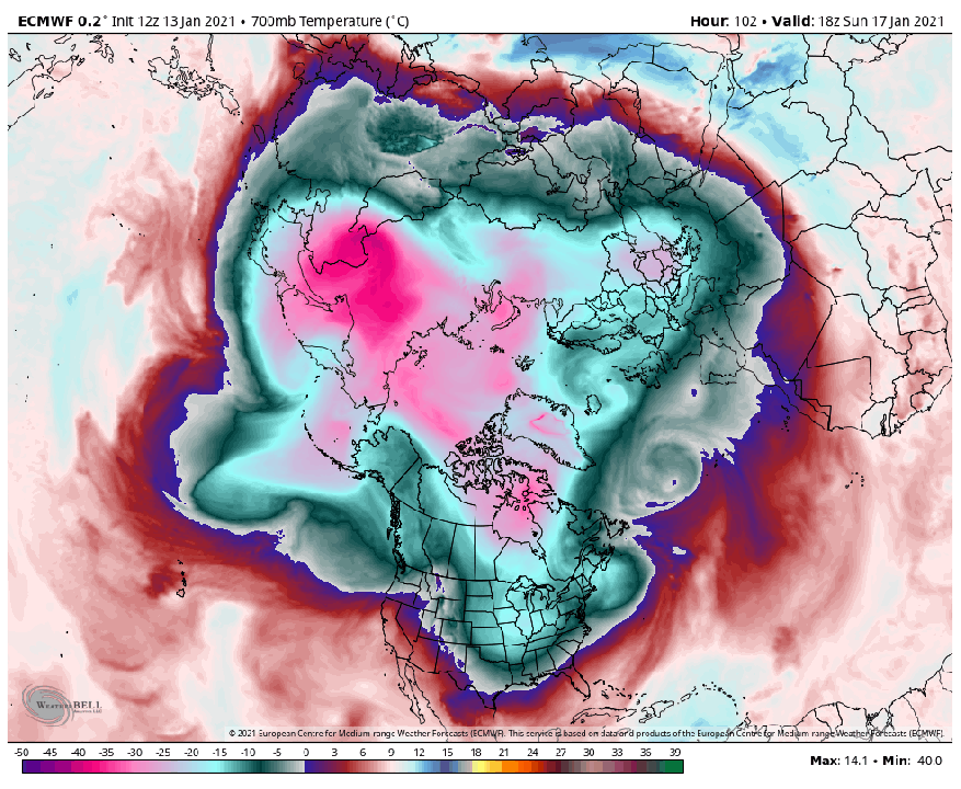
This winter, something interesting is happening. The air about 18-miles above the north Polar Vortex is rapidly warming up. By almost 86 degrees Fahrenheit in just the past two weeks. This sudden stratospheric warming event may cause the polar vortex to split into two or more pieces. This split could bring that cold air even farther south and spark up some intense blizzards in Europe and North America.
So how could a temperature change so high up in the atmosphere cause this?
Any disturbances to the stratosphere, where the polar vortex is located, ripple downwards into the troposphere where weather occurs. These ripples move could be the difference between driving or bobsledding to work.
Right now, Meteorologists are trying to figure out what effect the ripples will have. If they cause the vortex to split, it would likely mean big frigid cold outbreaks and bigger snowstorms. That is what happened in 2003, 2009 and 2013.
But not every event is the same and it can be difficult to predict the actual snowstorms more than about 5 days out. Other weather and climate factors also come into play.
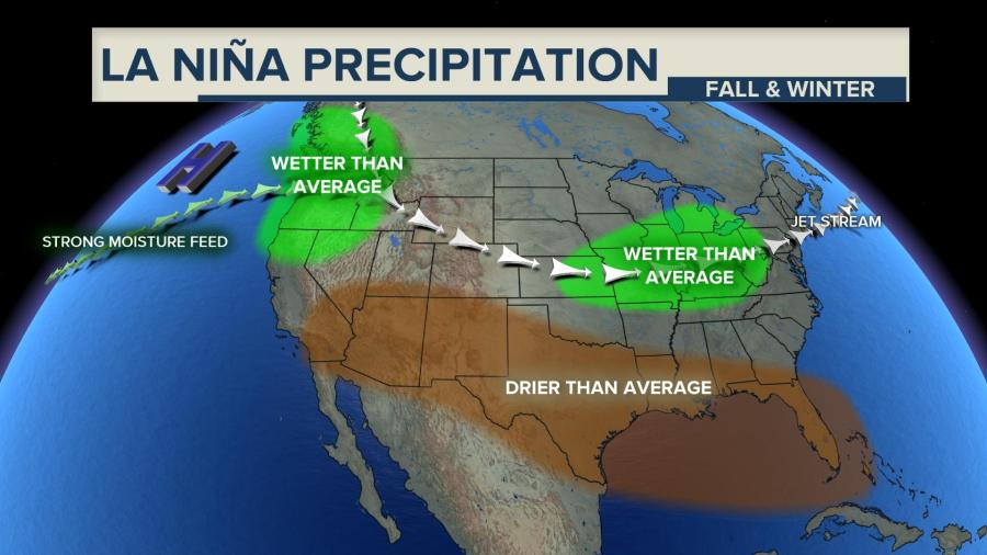
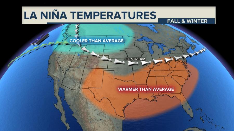
Remember La Nina? Another weather term many have heard of. Like the polar vortex, it is not a storm of any kind. Instead, it’s simply just cooler than average waters in the Pacific along the equator. A strong La Nina has big influences on weather worldwide. It usually means dryer and warmer winters in places like central Texas and wetter than average in the Midwest and Northwest.
We likely will not know for sure what all this will lead to in our backyards for several weeks but the scale could be tipping toward some colder, snowier days ahead.
Your NewsNation Weather team will keep you informed of any Arctic blasts or winter storms that will affect the US.


